
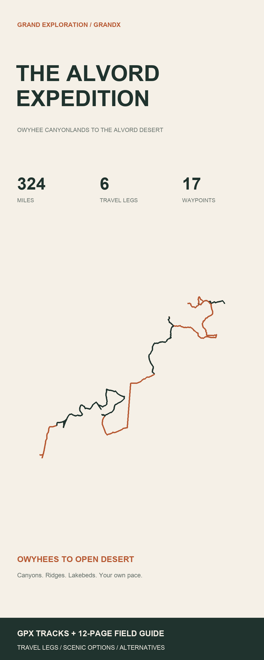
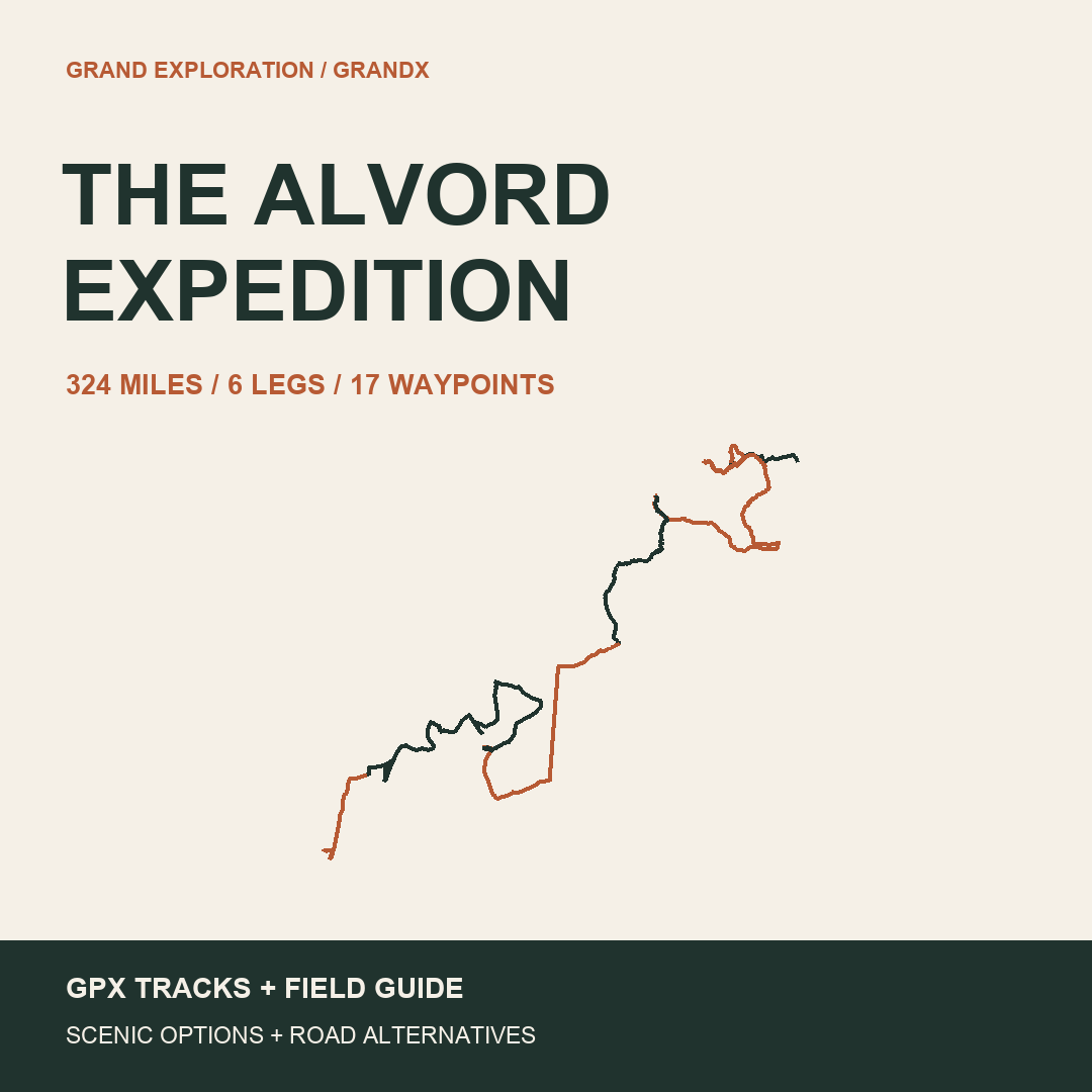
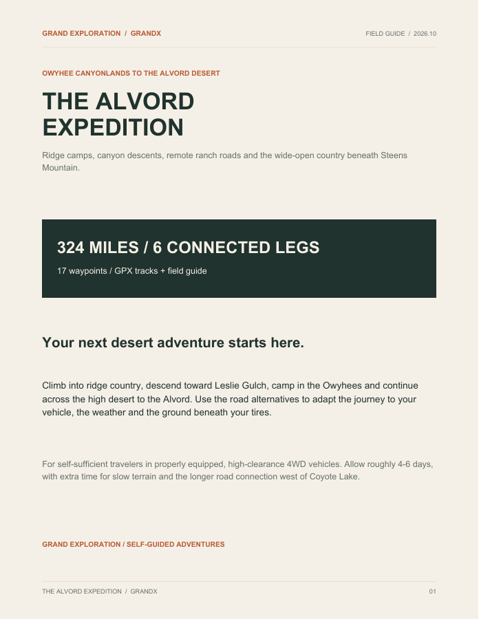
Leave the pavement behind for a self-guided journey through the Owyhee Canyonlands and the Alvord Desert. Follow ridge roads, descend toward Leslie Gulch, camp near Birch Creek, visit Coyote Lake country and finish beneath Steens Mountain with a stop at Fields.
Plan approximately 324 miles over 4–6 days in a properly equipped, high-clearance 4×4. Six numbered travel legs keep the journey organized, with road alternatives to suit your group and the conditions.
YOUR $5 DIGITAL DOWNLOAD
• A 12-page field guide with an overview map, roadbook, camp guidance, fuel planning, waypoint coordinates and onX import instructions
• Six mainline GPX Tracks and 17 waypoints
• Four road alternatives: Jordan Valley fuel, the road around the steep descent, Coyote roads without the lakebed camp, and roads around the Alvord playa
• Pillars of Rome and the short Juntura approach Track
• A separate collection of 14 individual expedition Tracks, plus individual travel-leg files, KML and a quick-start guide
MAKE IT YOUR TRIP
Take time for the geocache and canyon scenery, choose the ridge descent or its road alternative, and give the remote approaches the daylight they deserve. From Coyote camp, GX05 returns along the approach before taking a longer road loop west toward the Alvord. The guide shows where each alternative branches and rejoins.
FUEL & TERRAIN
Carry all drinking water and plan fuel independently of Rome. The guide recommends at least 340 miles of usable loaded off-road range with reserve after the Jordan Valley fuel stop. Lakebed travel requires completely dry ground and permitted access. Road alternatives are included.
The optional Juntura approach covers about 1.2 miles near Birch Creek. It does not reach town or provide a complete river-excursion route. No river crossing is required to complete the six-leg itinerary.
Load the GPX into onX Offroad and save detailed offline maps before departure. Tracks are map overlays, not spoken directions. Access and surface conditions can change; obey signs, gates and closures. Other navigation apps may be compatible but have not been tested.
Instant ZIP download. Navigation subscriptions, permits, camping and services are separate. GrandX is not affiliated with onX or BLM.
Leave the pavement behind for a self-guided journey through the Owyhee Canyonlands and the Alvord Desert. Follow ridge roads, descend toward Leslie Gulch, camp near Birch Creek, visit Coyote Lake country and finish beneath Steens Mountain with a stop at Fields.
Plan approximately 324 miles over 4–6 days in a properly equipped, high-clearance 4×4. Six numbered travel legs keep the journey organized, with road alternatives to suit your group and the conditions.
YOUR $5 DIGITAL DOWNLOAD
• A 12-page field guide with an overview map, roadbook, camp guidance, fuel planning, waypoint coordinates and onX import instructions
• Six mainline GPX Tracks and 17 waypoints
• Four road alternatives: Jordan Valley fuel, the road around the steep descent, Coyote roads without the lakebed camp, and roads around the Alvord playa
• Pillars of Rome and the short Juntura approach Track
• A separate collection of 14 individual expedition Tracks, plus individual travel-leg files, KML and a quick-start guide
MAKE IT YOUR TRIP
Take time for the geocache and canyon scenery, choose the ridge descent or its road alternative, and give the remote approaches the daylight they deserve. From Coyote camp, GX05 returns along the approach before taking a longer road loop west toward the Alvord. The guide shows where each alternative branches and rejoins.
FUEL & TERRAIN
Carry all drinking water and plan fuel independently of Rome. The guide recommends at least 340 miles of usable loaded off-road range with reserve after the Jordan Valley fuel stop. Lakebed travel requires completely dry ground and permitted access. Road alternatives are included.
The optional Juntura approach covers about 1.2 miles near Birch Creek. It does not reach town or provide a complete river-excursion route. No river crossing is required to complete the six-leg itinerary.
Load the GPX into onX Offroad and save detailed offline maps before departure. Tracks are map overlays, not spoken directions. Access and surface conditions can change; obey signs, gates and closures. Other navigation apps may be compatible but have not been tested.
Instant ZIP download. Navigation subscriptions, permits, camping and services are separate. GrandX is not affiliated with onX or BLM.